Date Logged: ██/██/1998 (Recovered ██/██/2025)
Filed By: Mindy Langley, External Surveillance Review
Summary:
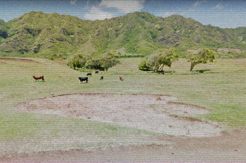
Originally dismissed as a viral publicity stunt during the summer of 1998, this case resurfaced after archived satellite telemetry was decrypted by Mindy’s predictive overlay script. The image depicts what appear to be two colossal bipedal indentations within a civilian urban sector — submerged partially along the eastern shoreline. The compression pattern and environmental interference suggest non-mechanical origin. The soil displacement exceeds any known local geological event.
Recovered Coordinates (Obfuscated):
Decode sequence →
> NORTH = (3 × 7.1776) + 0.0000034
> WEST = –(150 + 7.8489371)
Hint: Compare satellite anomalies from Kaneʻohe, Oʻahu circa May 1998.
Discrepancies Noted:
- Image timestamp predates event filming permits.
- Seismic readings from that day were expunged from USGS logs.
- Fauna in the area exhibited migration patterns 3 days prior.
- Witness accounts mention tremors and bass-frequency noise at 3:14 AM HST.
Mindy’s Note:
“If it was a hoax, why scrub the metadata? Something moved there — and whatever it was, it wasn’t wearing shoes.”
Corrupted Image File:
PX-VISUAL-KH049 (Recovered and partially restored)

Status: Field inquiry terminated. Area sealed under military training classification. Further access denied. Rumors persist among local salvage divers and shoreline patrols of sunken structures “reshaped” in the impact pattern. Recommend further drone-based survey if re-clearance is approved.